Transportation Maps
Transportation maps show infrastructure for the areas they represent. This includes roads, highways, railroads, buslines, subway routes and stations, airline and shipping routes, harbor and port facilities, communication routes,electric and telephone lines, and other similar features.
Most transportation maps in the Map Collection are located either under a Library of Congress call number, or under the U.S. Government, Superintendent of Documents (SuDocs) numbering system. The maps may be located using the Libraries' Catalog, and then retrieving the desired item from the map drawer. Transportation maps are located throughout the Map Collection. (Refer to the map below for the location of transportation maps in the Map Room.)
Search Tip: When searching the Libraries' Catalog, you may find listings using a number of different searches, but for some materials, you might be able to use the the following search tips:
Enter a subject search, beginning with a specific topic, such as Transportation, Railroads, followed by the country that you wish to locate. Then look for the terms subdivided by --Maps. The following is an example:
s = transportation--united states--maps
s = railroads--canada--maps
s = harbors--united states--maps
Or, for Road Maps, enter a keyword search, with Road maps and the country or state:
k = road maps and greece
This will locate all road maps of Greece.
For charts showing predominantly aeronautical or nautical navigation, please refer to Aeronautical Charts and Nautical Charts.
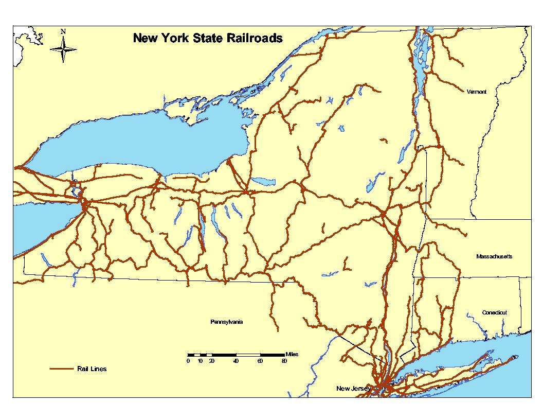
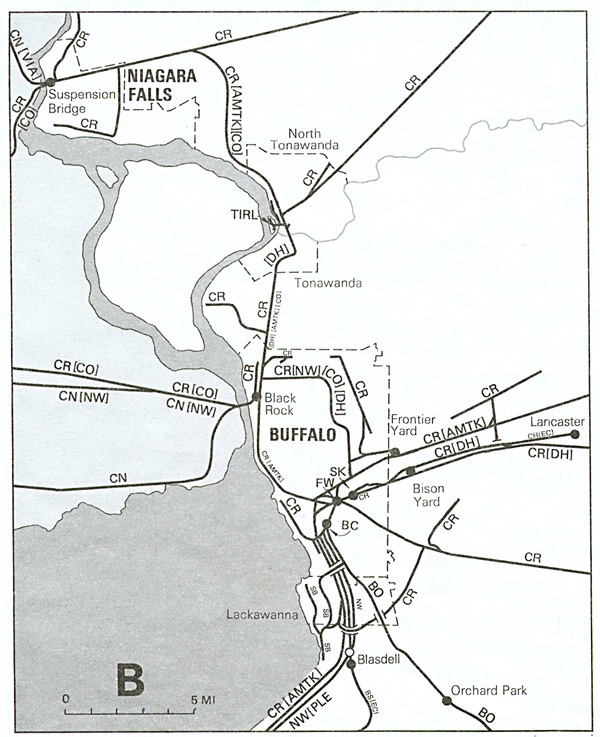 Freight and intercity passenger railroads in New York State. Scale 1:1,690,000. Portion of a map produced by New York State. Department of Transportation.
Call Number: Map Rm G3801.P3 1984 .N47
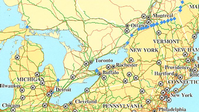 Transportation in North America. Scale [ca.1:900,000]. Portion of a map produced by U.S. Department of Transportation, Bureau of Transportation Statistics.
Call Number: Map Rm G3301.P1 1998 .U5
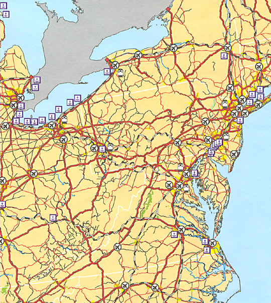 Major transportation facilities of the United States: January 1996. Scale 1:7,350,000. Portion of a chart produced by the United States. Bureau of Transportation Statistics.
 Call Number: Map Rm US TD 1.2: F 11
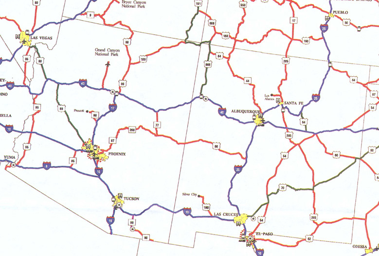 Proposed national highway system. Scale 1:5,920,000. Portion of a chart prepared and published by the United States. Federal Highway Administration.
Call Number: Map Rm US TD 2.37:H 53
 Railroad Map of New York State.
Better map available from NYS DOT site.
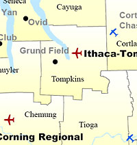 New York State Public Use Airports Map
Map available from NYS DOT site.